


Drosense
A new way to measure and monitor environments with drones
Drosense project focuses on developing intelligent drone-based measurement and monitoring solutions that combine advanced sensors, artificial intelligence, and 5G technology. The goal of the project is to create efficient and reliable methods for environmental monitoring, industrial measurement needs, and infrastructure maintenance.
Traditional field measurements and inspections often require time-consuming manual work, costly equipment, or limited data collection methods. Drosense addresses these challenges by developing flexible drone systems capable of collecting, analyzing, and visualizing high-quality data quickly and accurately.
The project runs from 1 August 2025 to 31 July 2027 and is carried out in cooperation with South-Eastern Finland University of Applied Sciences (Xamk), Kajaani University of Applied Sciences (KAMK), University of Oulu, and participating industry partners.
Usability
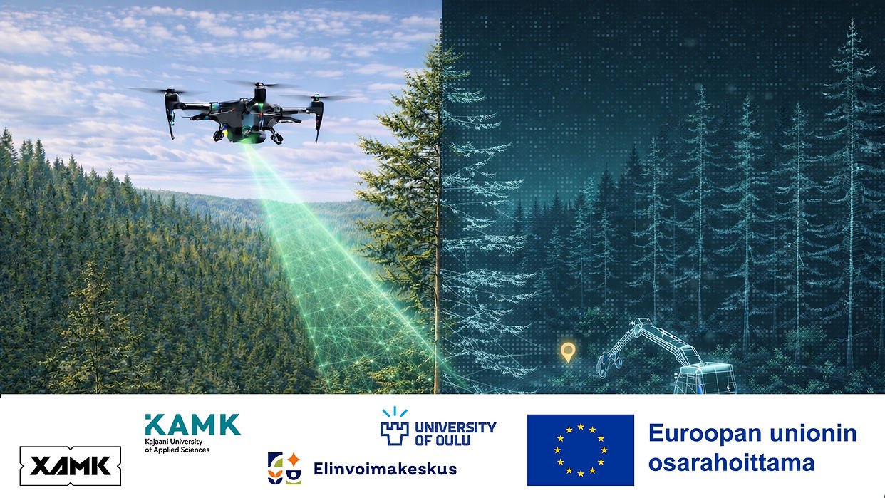
Drosense enables users to gather measurement data using drones equipped with different sensors such as LiDAR, RGB cameras, and thermal cameras. These sensor systems can be deployed for a wide variety of environments and use cases, reducing the need for manual inspection work.
Collected sensor data is processed and combined into accurate digital outputs such as 3D models, terrain maps, and real-time situational overviews. This allows users to better understand large or difficult-to-access areas while improving efficiency and safety.
At the same time, AI-based analysis tools are used to identify and classify objects, generate collision maps, and support route planning for drone operations. These smart systems help automate complex workflows and improve decision-making speed.
Users can also view the processed results through intuitive visual interfaces, including realistic 3D environments that make the collected information easier to interpret across different industries.
Software Creation
Within the project, Kajaani University of Applied Sciences (KAMK) is responsible for AI-based data processing, analysis, and visualization. KAMK’s expertise ensures that raw sensor data collected from drones is transformed into practical and valuable information that supports real operational needs.
The technical development work includes integrating LiDAR, thermal, and video data into unified analysis systems that produce accurate models and situational awareness.
Models are developed for object recognition, automated classification, collision mapping, and intelligent route planning. The processed data is then presented through realistic 3D visualization systems that support faster and better decision-making.
In addition, Proof-of-Concept solutions are being tested for different industries.
Through these solutions, Drosense creates new possibilities for using drones in environmental monitoring, industrial operations, and practical real-world applications.
Future Development
The Drosense project is strongly focused on future-ready technologies. Ongoing development includes the use of 5G Mesh drone swarms, enabling multiple drones to operate cooperatively in larger monitoring tasks and industrial environments.
Further development areas include more advanced AI analytics, autonomous route optimization, and increasingly realistic digital twins for infrastructure and environmental monitoring.
The project team is also interested in expanding solutions into forestry logistics, snow monitoring, biomass measurement, and smart industrial maintenance systems.
Download
The software is under development; It will be provided for interested parties after a and executable version has been created through suitable distribution platform.
